
Lamb topographic map
Interactive map
Click on the map to display elevation.
About this map
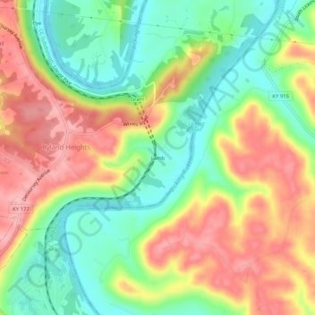
Name: Lamb topographic map, elevation, terrain.
Location: Lamb, Kenton County, Kentucky, United States (38.93617 -84.46800 38.97617 -84.42800)
Average elevation: 659 ft
Minimum elevation: 453 ft
Maximum elevation: 886 ft