
Nanga topographic map
Interactive map
Click on the map to display elevation.
About this map
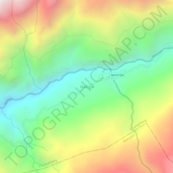
Name: Nanga topographic map, elevation, terrain.
Location: Nanga, Chungthang, North Sikkim District, Sikkim, India (27.52091 88.60205 27.56091 88.64205)
Average elevation: 5,817 ft
Minimum elevation: 3,399 ft
Maximum elevation: 9,252 ft