
Hoogkarspel topographic map
Interactive map
Click on the map to display elevation.
About this map
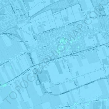
Name: Hoogkarspel topographic map, elevation, terrain.
Location: Hoogkarspel, Drechterland, North Holland, Netherlands (52.67294 5.14450 52.70745 5.20460)
Average elevation: -3 ft
Minimum elevation: -16 ft
Maximum elevation: 3 ft
Other topographic maps
Click on a map to view its topography, its elevation and its terrain.
Drechterland
Netherlands > North Holland > Drechterland
Drechterland, North Holland, Netherlands
Average elevation: -3 ft