
下連雀4 topographic map
Interactive map
Click on the map to display elevation.
About this map
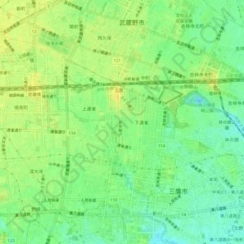
Name: 下連雀4 topographic map, elevation, terrain.
Location: 下連雀4, Mitaka, Tokyo, Kanto, 〒181-0013, Japan (35.67645 139.54162 35.71645 139.58162)
Average elevation: 197 ft
Minimum elevation: 157 ft
Maximum elevation: 226 ft