
Danube topographic map
Interactive map
Click on the map to display elevation.
About this map
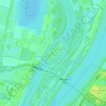
Name: Danube topographic map, elevation, terrain.
Average elevation: 341 ft
Minimum elevation: 322 ft
Maximum elevation: 381 ft
Other topographic maps
Click on a map to view its topography, its elevation and its terrain.
Budakalász
Hungary > Pest > Budakalász
Budakalász, Szentendrei járás, Pest, Central Hungary, Hungary
Average elevation: 472 ft