
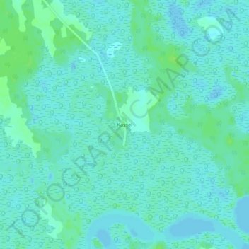
Kassel topographic map
Interactive map
Click on the map to display elevation.
About this map
Name: Kassel topographic map, elevation, terrain.
Average elevation: 13 ft
Minimum elevation: -10 ft
Maximum elevation: 33 ft
Other topographic maps
Click on a map to view its topography, its elevation and its terrain.
Kafountine
Senegal > Communauté rurale de Kafountine > Kafountine
Kafountine, Communauté rurale de Kafountine, Arrondissement de Kataba 1, Département de Bignona, Ziguinchor Region, Senegal
Average elevation: 16 ft