
Søldarfjørður topographic map
Interactive map
Click on the map to display elevation.
About this map
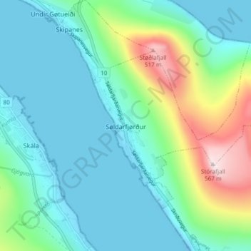
Name: Søldarfjørður topographic map, elevation, terrain.
Location: Søldarfjørður, Eysturoy region, 660, Faroe Islands (62.14874 -6.76340 62.17149 -6.68999)
Average elevation: 410 ft
Minimum elevation: -79 ft
Maximum elevation: 1,847 ft