
Calonge topographic map
Interactive map
Click on the map to display elevation.
About this map
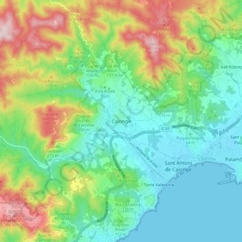
Name: Calonge topographic map, elevation, terrain.
Location: Calonge, Lower Empordà, Girona, Catalonia, 17252, Spain (41.82210 3.03723 41.90210 3.11723)
Average elevation: 381 ft
Minimum elevation: 0 ft
Maximum elevation: 1,178 ft