
Canana topographic map
Interactive map
Click on the map to display elevation.
About this map
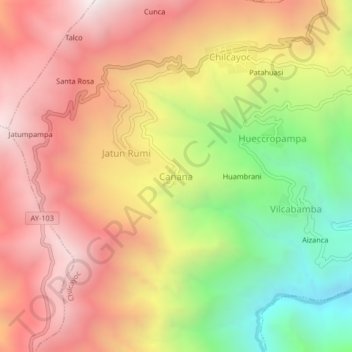
Name: Canana topographic map, elevation, terrain.
Location: Canana, Sucre, Ayacucho, Peru (-13.91707 -73.75367 -13.87707 -73.71367)
Average elevation: 11,073 ft
Minimum elevation: 8,107 ft
Maximum elevation: 13,458 ft