
Cerro San Cristobal topographic map
Interactive map
Click on the map to display elevation.
About this map
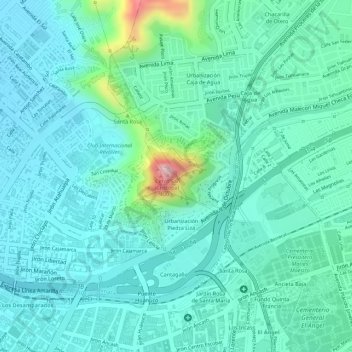
Name: Cerro San Cristobal topographic map, elevation, terrain.
Average elevation: 627 ft
Minimum elevation: 459 ft
Maximum elevation: 1,289 ft
Other topographic maps
Click on a map to view its topography, its elevation and its terrain.
Lomas de Amancaes
Lomas de Amancaes, Rímac, Lima, Lima Metropolitana, Lima, Perú
Average elevation: 1,204 ft