
Ampara topographic map
Interactive map
Click on the map to display elevation.
About this map
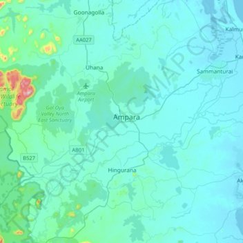
Name: Ampara topographic map, elevation, terrain.
Location: Ampara, Ampara District, Eastern Province, Sri Lanka (7.13112 81.51240 7.45112 81.83240)
Average elevation: 148 ft
Minimum elevation: -3 ft
Maximum elevation: 1,913 ft