
Marcahuasi topographic map
Interactive map
Click on the map to display elevation.
About this map
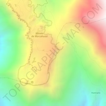
Name: Marcahuasi topographic map, elevation, terrain.
Location: Marcahuasi, San Pedro de Casta, Huarochirí, Lima, Peru (-11.79076 -76.57129 -11.79066 -76.57119)
Average elevation: 12,425 ft
Minimum elevation: 10,699 ft
Maximum elevation: 14,170 ft