
Backus topographic map
Interactive map
Click on the map to display elevation.
About this map
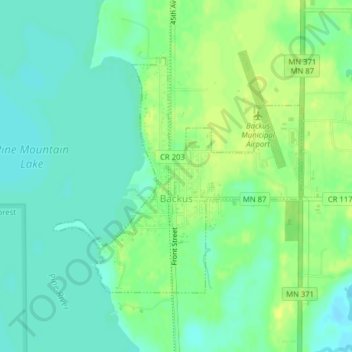
Name: Backus topographic map, elevation, terrain.
Location: Backus, Cass County, Minnesota, USA (46.81291 -94.52527 46.83099 -94.50252)
Average elevation: 1,335 ft
Minimum elevation: 1,309 ft
Maximum elevation: 1,365 ft