
Funza topographic map
Interactive map
Click on the map to display elevation.
About this map
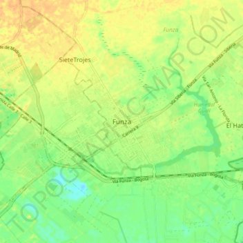
Name: Funza topographic map, elevation, terrain.
Location: Funza, Cundinamarca, 250020, Colombia (4.67630 -74.25222 4.75630 -74.17222)
Average elevation: 8,353 ft
Minimum elevation: 8,297 ft
Maximum elevation: 8,399 ft