
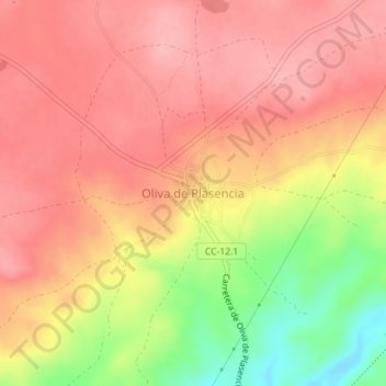
Oliva de Plasencia topographic map
Interactive map
Click on the map to display elevation.
About this map
Name: Oliva de Plasencia topographic map, elevation, terrain.
Location: Oliva de Plasencia, Cáceres, Extremadura, Spain (40.10977 -6.08804 40.11412 -6.08427)
Average elevation: 1,316 ft
Minimum elevation: 1,056 ft
Maximum elevation: 1,444 ft