
Huntsville topographic map
Interactive map
Click on the map to display elevation.
About this map
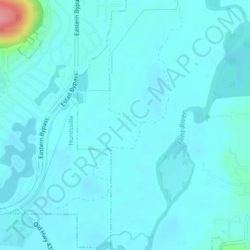
Name: Huntsville topographic map, elevation, terrain.
Location: Huntsville, Madison County, Alabama, USA (34.66607 -86.44404 34.67328 -86.43957)
Average elevation: 604 ft
Minimum elevation: 571 ft
Maximum elevation: 896 ft