
Armadale topographic map
Interactive map
Click on the map to display elevation.
About this map
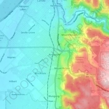
Name: Armadale topographic map, elevation, terrain.
Location: Armadale, Western Australia, 6111, Australia (-32.19227 115.97475 -32.11227 116.05475)
Average elevation: 341 ft
Minimum elevation: 69 ft
Maximum elevation: 1,056 ft