
Parsippany topographic map
Interactive map
Click on the map to display elevation.
About this map
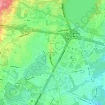
Name: Parsippany topographic map, elevation, terrain.
Average elevation: 312 ft
Minimum elevation: 207 ft
Maximum elevation: 525 ft
Other topographic maps
Click on a map to view its topography, its elevation and its terrain.
Lake Hiawatha
United States > New Jersey > Morris County > Parsippany-Troy Hills
Lake Hiawatha, Parsippany-Troy Hills, Morris County, New Jersey, 07034, United States
Average elevation: 253 ft