
Siresa topographic map
Interactive map
Click on the map to display elevation.
About this map
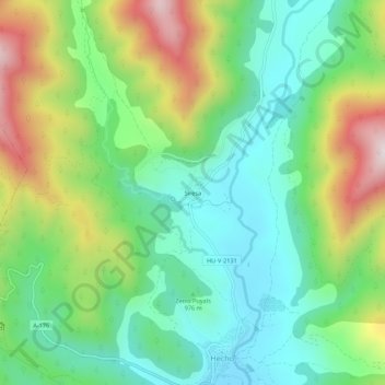
Name: Siresa topographic map, elevation, terrain.
Location: Siresa, La Jacetania, Huesca, Aragon, Spain (42.73558 -0.77446 42.77558 -0.73446)
Average elevation: 3,386 ft
Minimum elevation: 2,641 ft
Maximum elevation: 4,826 ft