
Sandön topographic map
Interactive map
Click on the map to display elevation.
About this map
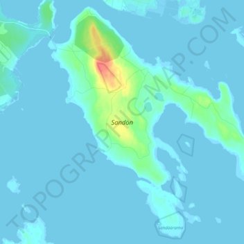
Name: Sandön topographic map, elevation, terrain.
Average elevation: 10 ft
Minimum elevation: -13 ft
Maximum elevation: 148 ft
Other topographic maps
Click on a map to view its topography, its elevation and its terrain.
Sundom
Sweden > Norrbotten County > Luleå > Sundom
Sundom, Luleå, Luleå kommun, Norrbotten County, Region Norrland, 97498, Sweden
Average elevation: 72 ft