
Uzundere topographic map
Interactive map
Click on the map to display elevation.
About this map
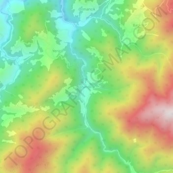
Name: Uzundere topographic map, elevation, terrain.
Location: Uzundere, Çayeli, Rize, Black Sea Region, Turkey (40.89396 40.77766 40.93396 40.81766)
Average elevation: 3,353 ft
Minimum elevation: 2,024 ft
Maximum elevation: 5,194 ft