
Rossau topographic map
Interactive map
Click on the map to display elevation.
About this map
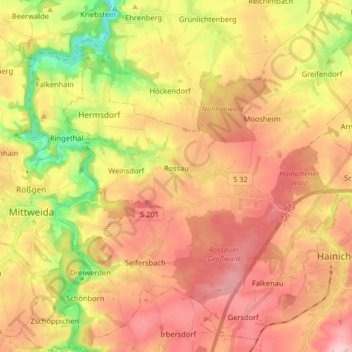
Name: Rossau topographic map, elevation, terrain.
Location: Rossau, Mittelsachsen, Saksen, Duitsland (50.94478 12.98627 51.04665 13.13714)
Average elevation: 991 ft
Minimum elevation: 640 ft
Maximum elevation: 1,263 ft