
Galala topographic map
Interactive map
Click on the map to display elevation.
About this map
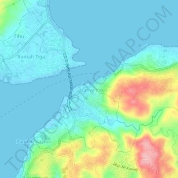
Name: Galala topographic map, elevation, terrain.
Location: Galala, Moluccas, 97128, Indonesia (-3.68450 128.18251 -3.64450 128.22251)
Average elevation: 112 ft
Minimum elevation: 0 ft
Maximum elevation: 499 ft