
Westminster topographic map
Interactive map
Click on the map to display elevation.
About this map
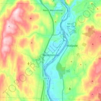
Name: Westminster topographic map, elevation, terrain.
Location: Westminster, Windham County, Vermont, USA (43.02036 -72.58564 43.12777 -72.43249)
Average elevation: 705 ft
Minimum elevation: 210 ft
Maximum elevation: 1,467 ft