
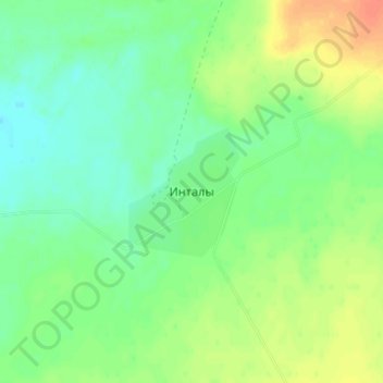
Инталы topographic map
Interactive map
Click on the map to display elevation.
About this map
Name: Инталы topographic map, elevation, terrain.
Location: Инталы, Zhanaarka District, Karaganda Region, Kazakhstan (48.87173 70.89755 48.91173 70.93755)
Average elevation: 1,670 ft
Minimum elevation: 1,617 ft
Maximum elevation: 1,752 ft