
Grayling topographic map
Interactive map
Click on the map to display elevation.
About this map
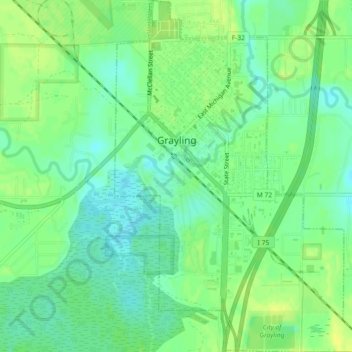
Name: Grayling topographic map, elevation, terrain.
Location: Grayling, Crawford County, Michigan, United States (44.64209 -84.72266 44.67432 -84.68916)
Average elevation: 1,142 ft
Minimum elevation: 1,109 ft
Maximum elevation: 1,171 ft
Other topographic maps
Click on a map to view its topography, its elevation and its terrain.
East Branch Au Sable River
United States > Michigan > Crawford County > Grayling
East Branch Au Sable River, Grayling, Grayling Charter Township, Crawford County, Michigan, 49738, United States
Average elevation: 1,194 ft