
Kalamalla topographic map
Interactive map
Click on the map to display elevation.
About this map
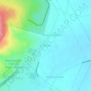
Name: Kalamalla topographic map, elevation, terrain.
Location: Kalamalla, YSR, Andhra Pradesh, India (14.69147 78.45096 14.73147 78.49096)
Average elevation: 597 ft
Minimum elevation: 538 ft
Maximum elevation: 840 ft