
Little Falls-South Windham topographic map
Interactive map
Click on the map to display elevation.
About this map
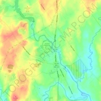
Name: Little Falls-South Windham topographic map, elevation, terrain.
Average elevation: 164 ft
Minimum elevation: 62 ft
Maximum elevation: 276 ft