
Khash topographic map
Interactive map
Click on the map to display elevation.
About this map
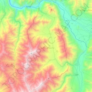
Name: Khash topographic map, elevation, terrain.
Location: Khash, Badakhshan, Afghanistan (36.81559 70.64890 37.07380 70.80456)
Average elevation: 7,608 ft
Minimum elevation: 3,993 ft
Maximum elevation: 12,943 ft
Other topographic maps
Click on a map to view its topography, its elevation and its terrain.
Hindu Kush
Hindu Kush, Wakhan, Badakhshan, Afghanistan
Average elevation: 16,942 ft
Panj river
Panj river, Raghistan, Badakhshan, Afghanistan
Average elevation: 8,468 ft
Shive
Afghanistan > Badakhshan > Shive
Shive, Shighnan, Badakhshan, Afghanistan
Average elevation: 7,700 ft