
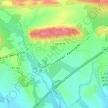
La Hiruela topographic map
Interactive map
Click on the map to display elevation.
About this map
Name: La Hiruela topographic map, elevation, terrain.
Location: La Hiruela, Los Arcos, Navarra, 31210, España (42.55741 -2.19372 42.57741 -2.17372)
Average elevation: 1,499 ft
Minimum elevation: 1,388 ft
Maximum elevation: 1,703 ft