
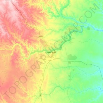
Bani Walid topographic map
Interactive map
Click on the map to display elevation.
About this map
Name: Bani Walid topographic map, elevation, terrain.
Location: Bani Walid, Libya (31.59843 13.85469 31.91843 14.17469)
Average elevation: 820 ft
Minimum elevation: 495 ft
Maximum elevation: 1,286 ft
Other topographic maps
Click on a map to view its topography, its elevation and its terrain.