
Tschagguns topographic map
Interactive map
Click on the map to display elevation.
About this map
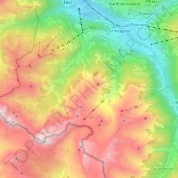
Name: Tschagguns topographic map, elevation, terrain.
Location: Tschagguns, Bludenz, Vorarlberg, 6774, Austria (47.00069 9.79315 47.08499 9.94428)
Average elevation: 5,052 ft
Minimum elevation: 2,080 ft
Maximum elevation: 9,163 ft