
Grange Heights topographic map
Interactive map
Click on the map to display elevation.
About this map
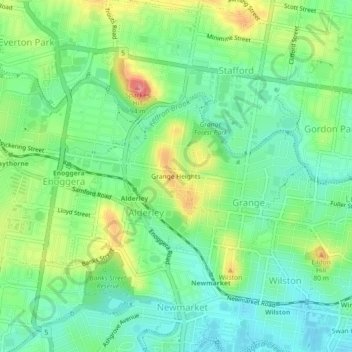
Name: Grange Heights topographic map, elevation, terrain.
Location: Grange Heights, Queensland, 4051, Australia (-27.44168 152.98613 -27.40168 153.02613)
Average elevation: 112 ft
Minimum elevation: 10 ft
Maximum elevation: 299 ft