
Peer topographic map
Interactive map
Click on the map to display elevation.
About this map
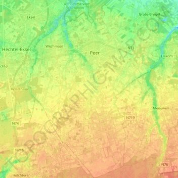
Name: Peer topographic map, elevation, terrain.
Location: Peer, Maaseik, Limburg, Flanders, 3990, Belgium (51.05499 5.40376 51.16426 5.49573)
Average elevation: 217 ft
Minimum elevation: 148 ft
Maximum elevation: 266 ft