
Curvas de Nivel 30 topographic map
Interactive map
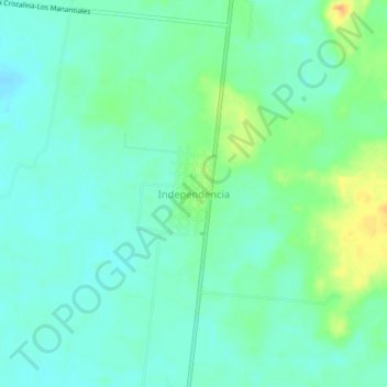
Click on the map to display elevation.
About this map
Name: Curvas de Nivel 30 topographic map, elevation, terrain.
Location: Curvas de Nivel 30, Carmen, Campeche, México (18.67426 -90.99715 18.71426 -90.95715)
Average elevation: 72 ft
Minimum elevation: 36 ft
Maximum elevation: 154 ft