
Santa Elena topographic map
Interactive map
Click on the map to display elevation.
About this map
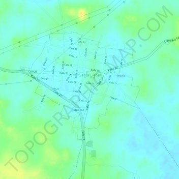
Name: Santa Elena topographic map, elevation, terrain.
Location: Santa Elena, Yucatán, México (20.31723 -89.65347 20.33471 -89.63419)
Average elevation: 164 ft
Minimum elevation: 135 ft
Maximum elevation: 220 ft