
Coxs Crossing topographic map
Interactive map
Click on the map to display elevation.
About this map
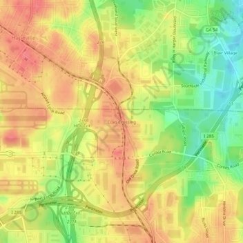
Name: Coxs Crossing topographic map, elevation, terrain.
Location: Coxs Crossing, Clayton County, Georgia, 30304, USA (33.62622 -84.41076 33.66622 -84.37076)
Average elevation: 942 ft
Minimum elevation: 814 ft
Maximum elevation: 1,027 ft