
Grays Subdivision topographic map
Interactive map
Click on the map to display elevation.
About this map
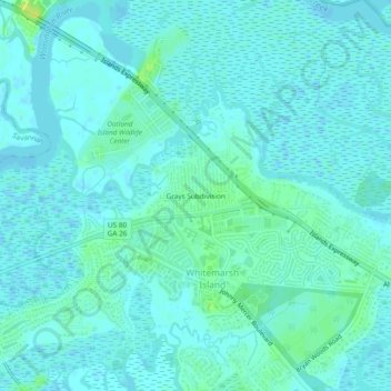
Name: Grays Subdivision topographic map, elevation, terrain.
Location: Grays Subdivision, Chatham County, Georgia, 31410, USA (32.02493 -81.03206 32.06493 -80.99206)
Average elevation: 13 ft
Minimum elevation: -7 ft
Maximum elevation: 49 ft