
Meador topographic map
Interactive map
Click on the map to display elevation.
About this map
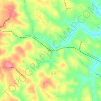
Name: Meador topographic map, elevation, terrain.
Location: Meador, Bedford County, Virginia, USA (37.18042 -79.67642 37.22042 -79.63642)
Average elevation: 935 ft
Minimum elevation: 778 ft
Maximum elevation: 1,102 ft