
Mount Pleasant topographic map
Interactive map
Click on the map to display elevation.
About this map
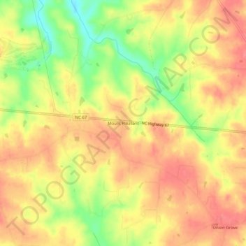
Name: Mount Pleasant topographic map, elevation, terrain.
Location: Mount Pleasant, Yadkin County, North Carolina, USA (36.20458 -80.64784 36.24458 -80.60784)
Average elevation: 1,014 ft
Minimum elevation: 866 ft
Maximum elevation: 1,096 ft