
Bad Emstal topographic map
Interactive map
Click on the map to display elevation.
About this map
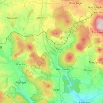
Name: Bad Emstal topographic map, elevation, terrain.
Location: Bad Emstal, Landkreis Kassel, Hesse, 34308, Germany (51.19603 9.20732 51.29020 9.30924)
Average elevation: 1,047 ft
Minimum elevation: 620 ft
Maximum elevation: 1,699 ft