
ضليع رشيد topographic map
Interactive map
Click on the map to display elevation.
About this map
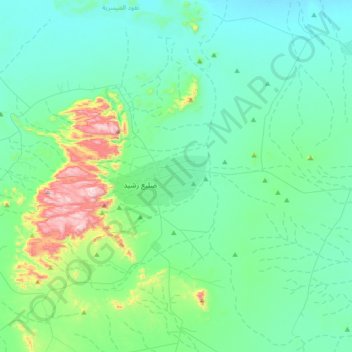
Name: ضليع رشيد topographic map, elevation, terrain.
Location: ضليع رشيد, Al-Qassim Region, Saudi Arabia (25.34845 42.71374 25.66845 43.03374)
Average elevation: 2,648 ft
Minimum elevation: 2,303 ft
Maximum elevation: 4,285 ft