
Lake Mohawk topographic map
Interactive map
Click on the map to display elevation.
About this map
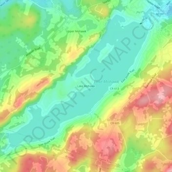
Name: Lake Mohawk topographic map, elevation, terrain.
Location: Lake Mohawk, Sussex County, New Jersey, 07871, USA (40.99843 -74.68016 41.03843 -74.64016)
Average elevation: 879 ft
Minimum elevation: 686 ft
Maximum elevation: 1,165 ft