
Hambur Tepe topographic map
Interactive map
Click on the map to display elevation.
About this map
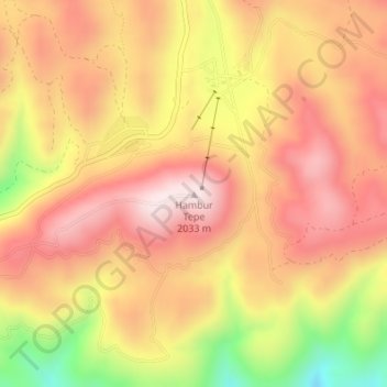
Name: Hambur Tepe topographic map, elevation, terrain.
Average elevation: 6,138 ft
Minimum elevation: 5,194 ft
Maximum elevation: 6,703 ft
Other topographic maps
Click on a map to view its topography, its elevation and its terrain.
Arslanbey Çiftliği
Arslanbey Çiftliği, Dulkadiroğlu, Kahramanmaraş, Mediterranean Region, Turkey
Average elevation: 1,873 ft