
Kosoma topographic map
Interactive map
Click on the map to display elevation.
About this map
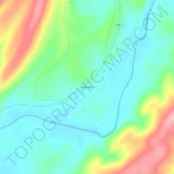
Name: Kosoma topographic map, elevation, terrain.
Location: Kosoma, Pushmataha County, Oklahoma, 74557, USA (34.32843 -95.63303 34.36843 -95.59303)
Average elevation: 594 ft
Minimum elevation: 453 ft
Maximum elevation: 906 ft