
Rt.53 topographic map
Interactive map
Click on the map to display elevation.
About this map
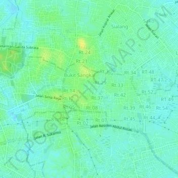
Name: Rt.53 topographic map, elevation, terrain.
Location: Rt.53, South Sumatra, 30114, Indonesia (-2.96095 104.75308 -2.92095 104.79308)
Average elevation: 33 ft
Minimum elevation: 10 ft
Maximum elevation: 69 ft