
Kalkan topographic map
Interactive map
Click on the map to display elevation.
About this map
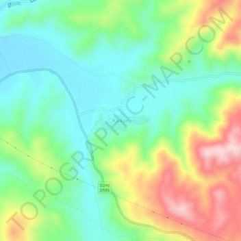
Name: Kalkan topographic map, elevation, terrain.
Location: Kalkan, Simav, Kütahya, Aegean Region, Turkey (39.06139 29.03978 39.10139 29.07978)
Average elevation: 3,048 ft
Minimum elevation: 2,694 ft
Maximum elevation: 3,701 ft