
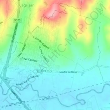
Nilüferköy Mahallesi topographic map
Interactive map
Click on the map to display elevation.
About this map
Name: Nilüferköy Mahallesi topographic map, elevation, terrain.
Location: Nilüferköy Mahallesi, Osmangazi, Bursa, Marmara Region, Turkey (40.27523 28.93257 40.30056 28.96615)
Average elevation: 344 ft
Minimum elevation: 213 ft
Maximum elevation: 676 ft