
Cēsis topographic map
Interactive map
Click on the map to display elevation.
About this map
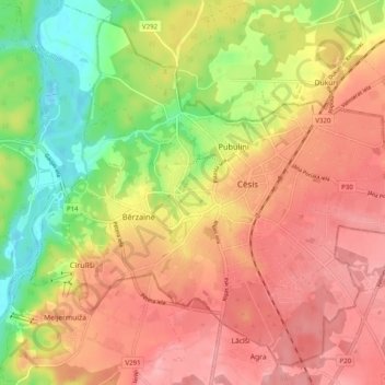
Name: Cēsis topographic map, elevation, terrain.
Location: Cēsis, Cēsis county, Vidzeme, LV-4101, Latvia (57.28793 25.22041 57.33588 25.31957)
Average elevation: 282 ft
Minimum elevation: 59 ft
Maximum elevation: 446 ft