
El Agustino topographic map
Interactive map
Click on the map to display elevation.
About this map
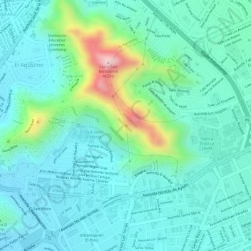
Name: El Agustino topographic map, elevation, terrain.
Location: El Agustino, Province of Lima, Lima, 15002, Peru (-12.05653 -76.98813 -12.05643 -76.98803)
Average elevation: 823 ft
Minimum elevation: 604 ft
Maximum elevation: 1,578 ft
Other topographic maps
Click on a map to view its topography, its elevation and its terrain.
El Agustino
Peru > Lima > El Agustino
El Agustino, Province of Lima, Lima Metropolitan Area, Lima, Peru
Average elevation: 748 ft